Norway’s capital city is divided into 15 districts. Let’s take a closer look at each of them.
Managing a city of 600,000+ people is a complicated business! Like other cities of a similar size, Norway’s capital city is split into smaller areas for administrative purposes.
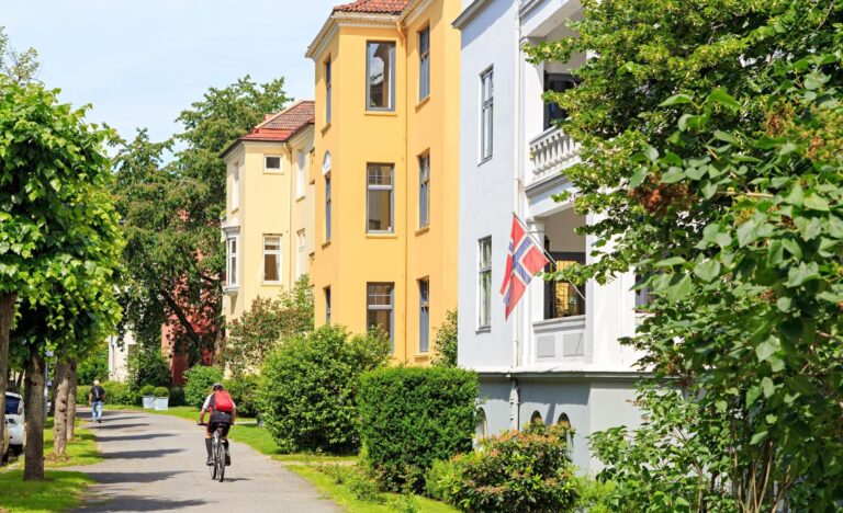
Land use, healthcare and social services are among the issues examined at the local level in Oslo. The city also uses the smaller administrative areas for a wide variety of comparative statistics.
In addition to the city centre, Oslo has 15 administrative districts, or boroughs. Known in Norwegian as a bydel (plural: bydeler), each district is overseen by a district committee, elected every four years by city residents at the same time as the regular city council elections. Here are the results from 2019.
The current 15 districts were created when a local government reform in 2004 reduced the number from 25. Let’s take a look at each of them in turn, starting with the odd one out!
Sentrum
The compact city centre of Oslo is not a separate district, as the city council prefers to take on the management of land use itself.
Read more: Fun Facts About Oslo
However, there are some residents of the central district, so responsibility for these falls to St Hanshaugen. Previously, Bygdøy-Frogner and Gamle Oslo had some responsibility.
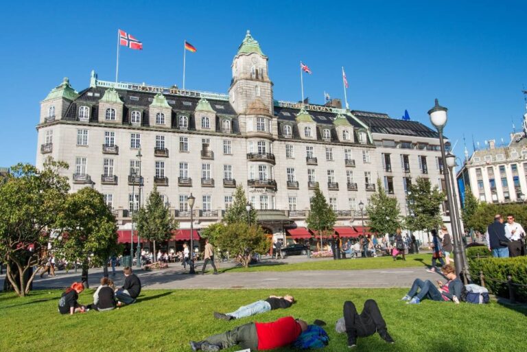
The area defined as sentrum includes Vika, Kvadraturen, the streets north of Karl Johans gate, the western half of Bjørvika, and Vaterland.
Now, let’s look at each of the 15 administrative districts, in alphabetical order.
Alna
Population: 50,000. The lengthy Alna district covers a lot of eastern Oslo’s Groruddalen valley. It stretches from Tveita and Teisen all the way out to Furuset, broadly following the E6 out of the city.
Specific areas included in Alna are: Furuset, Lindeberg, Haugerud, Trosterud, Ellingsrud, Tveita, Teisen and Hellerudtoppen. Together with Søndre Nordstrand, the district has the second highest share of immigrant residents in the city.
Bjerke
Population: 32,500. To the north/north-west of Alna lies Bjerke, a district with expansion plans in the years to come.
Specific areas included in Bjerke are: Refstad, Veitvet, Linderud, Ulven and Årvoll. The immigrant population of Bjerke is above the city average.
Frogner
Population: 60,000. Considered one of the city’s more desirable districts, Frogner covers much of the inner city west of the city centre, including Frogner Park and the leafy Bygdøy peninsula.
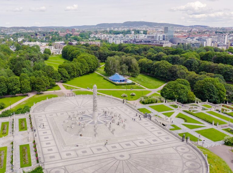
Specific areas included in Frogner are: Bygdøy, Majorstua, Homansbyen, Frogner, Skillebekk and Vika. The immigrant population of Frogner is slightly below the city average.
Gamle Oslo
Population: 50,000. Gamle Oslo (Old Oslo) is an area full of diversity and rapid economic change. Major development projects are taking place or planned throughout the district.
Specific areas included in Gamle Oslo are: Grønland, Kampen, Enerhaugen (including parts of Gamlebyen), Nedre Tøyen, Vålerenga, Ensjø (inc. Valle), Etterstad (inc. Helsfyr and Brynseng, Kværnerbyen (including parts of Gamlebyen, Ryenberget and Nygårdskollen) and the Bispevika area of downtown Oslo. The latter includes the new Sørenga neighbourhood, Loenga, Grønlia, and the eastern part of Bjørvika)
The Oslofjord islands Kavringen, Nakkholmen, Lindøya, Hovedøya, Bleikøya, Gressholmen, Rambergøya and Heggholmen are also part of the district. The immigrant population of Gamle Oslo is slightly above the city average.
Grorud
Population: 27,000. Located in the city’s north-east corner next to the Lillomarka forest, Grorud is home to people from more than 150 nations.
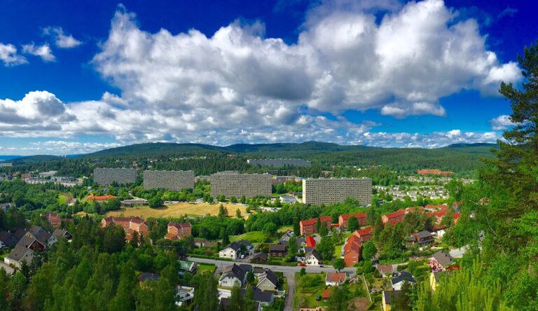
Specific areas included in Grorud are: Ammerud, Grorud, Kalbakken, Rødtvet, Nordtvet and Romsås. The immigrant population of Grorud is well above the city average.
Grünerløkka
Population: 61,000. Just to the north of the city centre lies Grünerløkka, a popular area with young couples and newcomers to the city.
Specific areas included in the district are: Grünerløkka, Sinsen, Dælenenga, Sofienberg, Rodeløkka, Løren and Hasle. The immigrant population of Grünerløkka is the same as the city average.
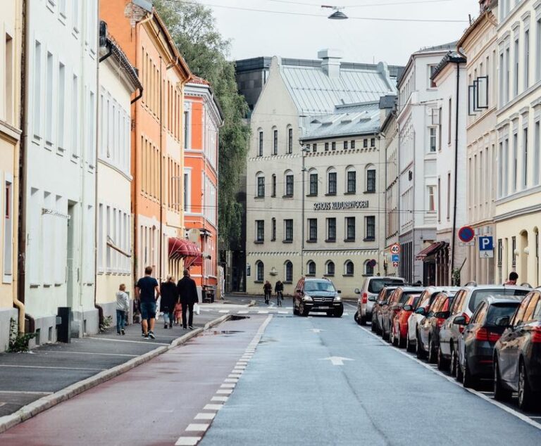
Nordre Aker
Population: 51,000. Nordre Aker extends from Trondheimsveien in the east to Sognsvannsbekken in the west, and from Nydalen in the south to Solemskogen in the north.
Specific areas included in Nordre Aker are: Nydalen, Grefsen, Kjelsås, Sogn, Tåsen and Ullevål hageby. The immigrant population of Nordre Aker is well below the city average.
Nordstrand
Population: 52,000. Despite the name (North Beach), Nordstrand is the southernmost but one district in Oslo. It lies between the fjord and forest.
Specific areas included in Nordstrand are: Ekeberg, Bekkelaget, Brattlikollen, Ormøya, Malmøya, Ulvøya, Lambertseter, Nordstrand and Ljan. The immigrant population of Nordstrand is slightly below the city average.
Sagene
Population: 44,000. Oslo’s smallest district lies immediately north of Grünerløkka. Known for its riverside industrial history, Sagene has a high population density but is nevertheless a pleasant place to live with plenty of parkland.
Specific areas included in Sagene are: Iladalen, Sagene, Bjølsen, Sandaker and Torshov. The immigrant population of Sagene is slightly below the city average.
St. Hanshaugen
Population: 40,000. The St. Hanshaugen district stretches from the student accommodation of Pilestredet in downtown Oslo to Marienlyst. It has the highest proportions of young people and single residents in the city.
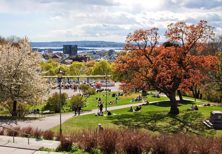
Specific areas included in St. Hanshaugen are: Hammersborg, Lindern, Bislett, Ila and Fagerborg. The immigrant population of St. Hanshaugen is slightly below the city average.
Stovner
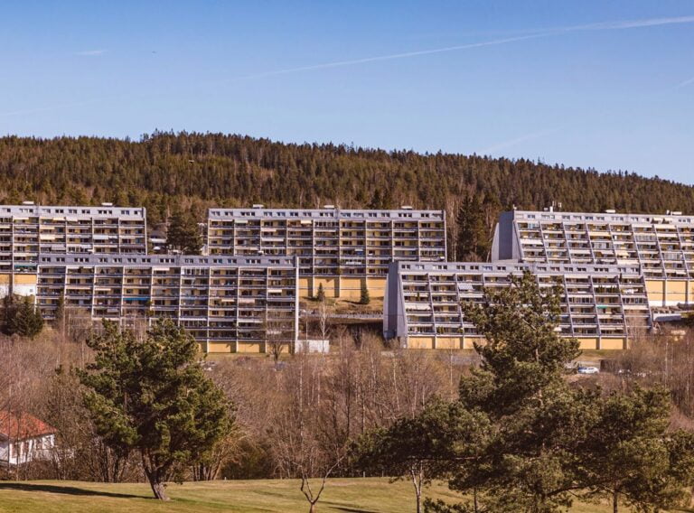
Population: 33,000. In the far north-east of Oslo lies the ethnically-diverse Stovner. The district is known for its estates of 1960s and 1970s apartment blocks, built on former farmland.
Specific areas included in the district are: Fossum, Vestli, Rommen, Høybråten, Haugenstua and Stovner. The district has the highest share of immigrant residents in the city. More than 50% of residents have an immigrant background, either born overseas or to immigrant parents.
Søndre Nordstrand
Far to the south of the city centre on the eastern side of the fjord, Søndre Nordstrand is an ethnically-diverse district stretching from the shores of the Bunnefjord to the Østmarka forest.
Specific areas included in Søndre Nordstrand are: Prinsdal, Bjørnerud, Mortensrud, Bjørndal and Holmlia. Together with Alna, the district has the second highest share of immigrant residents in the city.
Ullern
Population: 34,000. Ullern lies to the west of Frogner and to the north of Bygdøy. The mostly leafy residential district is also home to the business areas Skøyen and Lilleaker.
Specific areas included in the district are: Montebello-Hoff, Lilleaker, Skøyen, Ullern and Ullernåsen. The immigrant population of Ullern is well below the city average.
Vestre Aker
Population: 49,000. A wealthy district in the western hills of Oslo, Vestre Aker borders the Nordmarka forest and Bærum.
Specfic areas included in the district are: Vinderen, Grimelund, Slemdal, Hovseter, Røa, Holmen and Holmenkollen. The immigrant population of Vestre Aker is well below the city average.
Østensjø
Population: 50,000. Located next to the Østmarka forest, Østensjø is known for the large lake and nature reserve Lake Østensjøvannet at its centre.
Specific areas included in the district are: Godlia, Skullerud, Abildsø, Manglerud, Bøler and Oppsal. The immigrant population of Østensjø is slightly below the city average.


Know anything about the Fossum region? Great Grand parents came from the “Fossum Farm.”
The fırsat photograph of discover district of Oslo under Bu David Nickel beginning of text.Old street 3 floors houses and no any car remainded me when l was young İn our country there is no pollution like yours photograph of Norway. Which part of it from Oslo? Very nice.Keep healty.
A map showing all these districts would be very helpful!